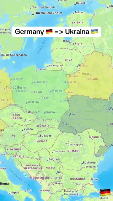
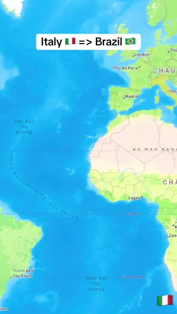
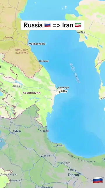
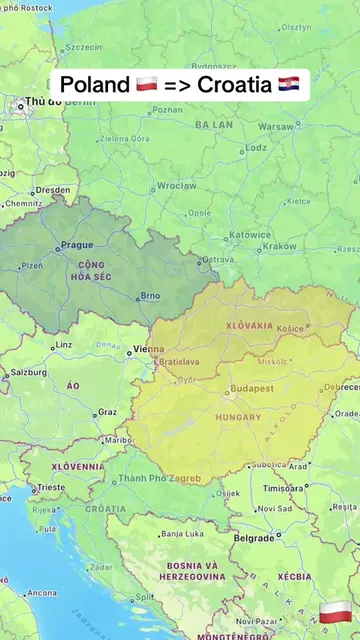
Loading video…
All breakouts
7.6AnimationOther hookConsumer Apps
Hook
Iran 🇮🇷 => Russia 🇷🇺
@tampy78e1
19.5K followers · usually 2.9K views a post
Views
45.5K
Likes
231
Comments
6
Shares
26
Why it worked
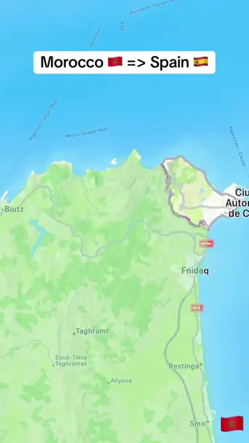
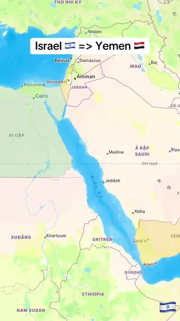
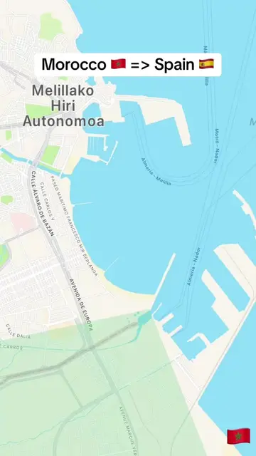
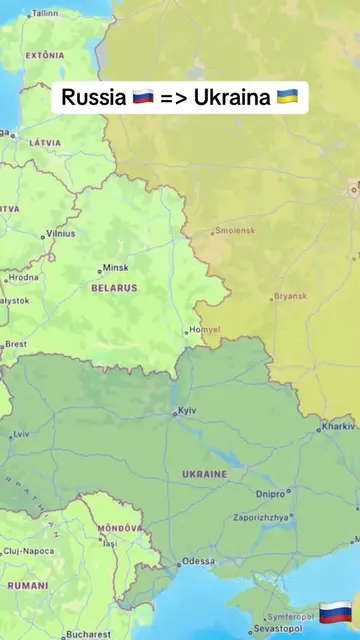
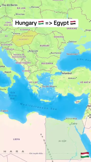
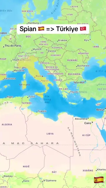
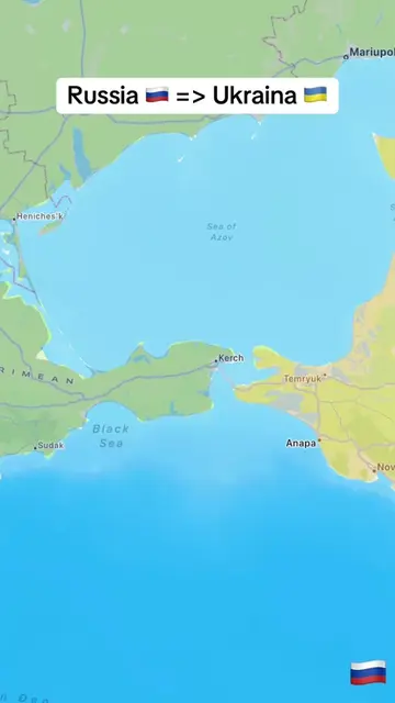
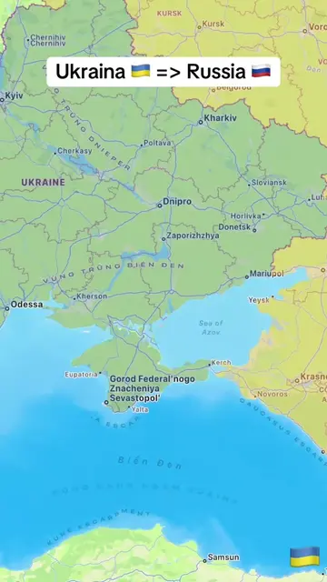
The video likely worked due to its educational and visually engaging nature, using a map animation to illustrate a geopolitical concept in a simple and understandable way. The use of flags and distance markers adds to the informative aspect, appealing to curiosity about geography and international relations.
Summary
The video shows a map with a ship traveling from Iran to Russia. The distance traveled by the ship is displayed in kilometers as it progresses along its route.
Structure
- 1Map shows Iran and Russia
- 2Ship begins journey from Iran
- 3Distance increases as ship travels
- 4Ship passes through various regions
- 5Ship approaches Russia
On-screen text
Iran 🇮🇷 => Russia 🇷🇺
Original caption
From Iran 🇮🇷 to Russia 🇷🇺. #LearnOnTikTok #trending #viral #iran #russia
More from @tampy78e1
More breakout videos from this creator.