Loading video…
All breakouts
14.4AnimationBefore / After hookConsumer Apps
Hook
Hungary 🇭🇺 => Egypt 🇭🇺
@tampy78e1
19.6K followers · usually 2.9K views a post
Views
62.5K
Likes
775
Comments
22
Shares
205
Why it worked
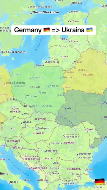
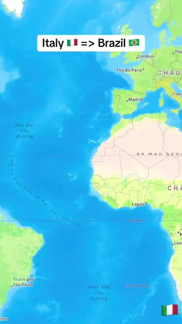
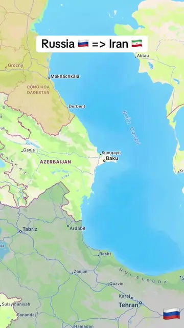
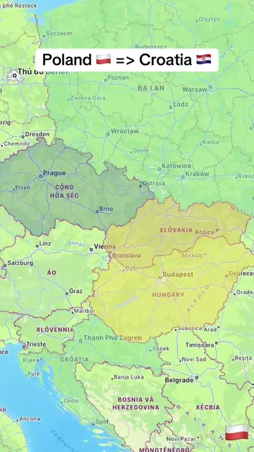
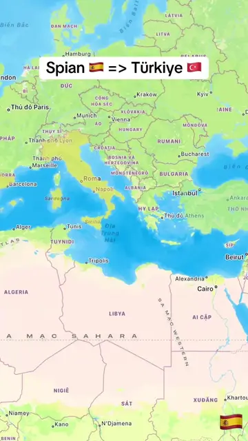
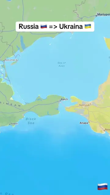
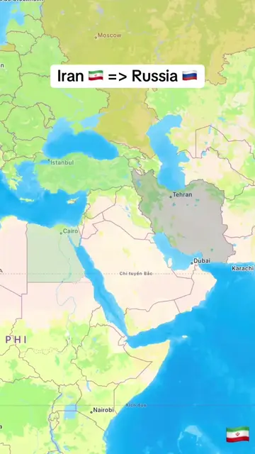
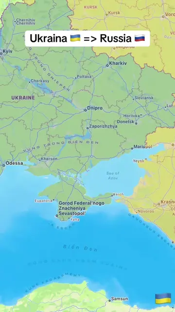
The video uses a simple, visually engaging animation to illustrate a long distance between two countries, appealing to curiosity and providing a clear, easily digestible piece of information. The use of flags and a progressively increasing distance marker creates a sense of journey and accomplishment.
Summary
The video visually depicts a flight path from Hungary to Egypt on a map. An airplane icon moves across the screen, showing the accumulating distance in kilometers as it travels over various countries and bodies of water, ultimately reaching Egypt.
Structure
- 1Map view showing Hungary and Egypt
- 2Airplane icon begins flight from Hungary
- 3Distance marker increases as plane travels
- 4Flight path crosses over several countries and the Mediterranean Sea
- 5Airplane reaches Egypt, distance marker shows total kilometers
On-screen text
Hungary 🇭🇺 => Egypt 🇪🇬
31 km
64 km
99 km
131 km
168 km
200 km
235 km
273 km
308 km
340 km
378 km
413 km
449 km
486 km
518 km
557 km
591 km
632 km
667 km
703 km
740 km
776 km
814 km
852 km
890 km
928 km
967 km
1006 km
1045 km
1085 km
1117 km
1157 km
1196 km
1236 km
1275 km
1314 km
1360 km
1399 km
1437 km
1475 km
1519 km
1556 km
1599 km
1641 km
1681 km
1721 km
1766 km
1808 km
1850 km
1889 km
1931 km
1974 km
2018 km
2060 km
2104 km
2147 km
Original caption
From Hungary 🇭🇺 to Egypt 🇪🇬. #LearnOnTikTok #trending #viral #hungary #egypt
More from @tampy78e1
More breakout videos from this creator.