Loading video…
Sound

original sound - reuters
Reuters · Original audio
0:00–:––
Playing this video’s own audio, so you’ll hear the creator over the sound.
Hook
Posted Aug 27, 2026Video · 0:32by @reuters
We didn’t find a product being promoted in this video. Its hook, format and structure below still show why it took off.
Browse products winning on TikTokThe video effectively uses before-and-after satellite imagery to visually demonstrate the catastrophic impact of the floods, making the scale of the disaster immediately apparent and impactful.
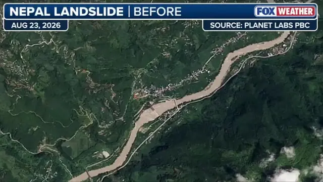
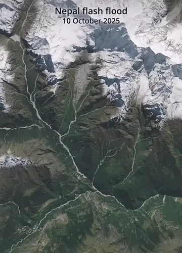
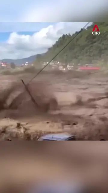
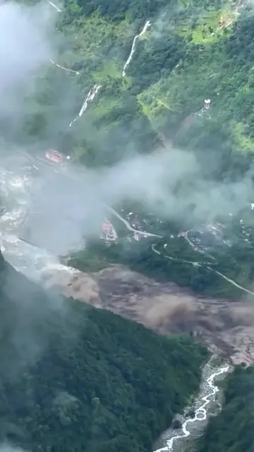
This video shows before-and-after satellite imagery illustrating the extensive damage caused by deadly floods in Nepal. Experts suggest that a collapsed glacier may have triggered the flash flood, burying lush mountainsides under debris.
A deadly flash flood near Nepal's border with Tibet on August 26 may have been triggered when the lower part of a glacier broke off and crashed on to the valley floor hundreds of meters below, experts said. Before-and-after satellite imagery from Planet Labs, reviewed by Reuters, shows lush green mountainside now buried under brown debris and sediment. #FlashFlood #Flood #Nepal #Environment
Satellite images reveal extensive damage after deadly floods in Nepal
Aerial view of flood aftermath
Satellite comparison: before floods
Satellite comparison: after floods
On-screen text explaining cause
Close-up of flood impact
Planet Labs (ACTS - provides satellite imagery used to show damage, removing it would change the visual evidence presented; APPEARS - logo visible on screen, removing it would not change what happens in the video) Reuters (APPEARS - logo visible on screen, removing it would not change what happens in the video) European Union/Copernicus Sentinel-2 (APPEARS - identifies the source of satellite imagery, removing it would not change what happens in the video) USGS/Landsat 9 (APPEARS - identifies the source of satellite imagery, removing it would not change what happens in the video)
Playing this video’s own audio, so you’ll hear the creator over the sound.
Outliers and viral hits: their videos on Overshot, all time.