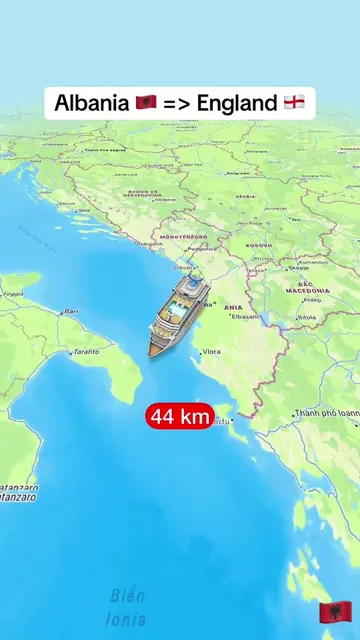
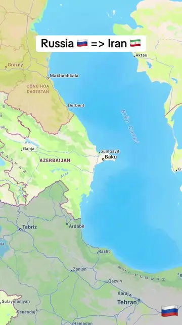
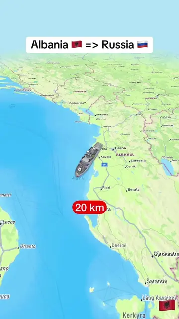
Loading video…
All breakouts
20.3AnimationBefore / After hookConsumer Apps
Hook
Türkiye 🇹🇷 => Nepal 🇳🇵
@tampy78e1
20.1K followers · usually 2.8K views a post
Views
56.4K
Likes
208
Comments
8
Shares
4
Why it worked
The video likely worked due to its visually engaging animation of a long-distance flight, combined with the use of popular travel destinations and a clear, simple presentation of distance. The use of flags and city names also adds an educational element that can appeal to a broad audience interested in geography and travel.
Summary
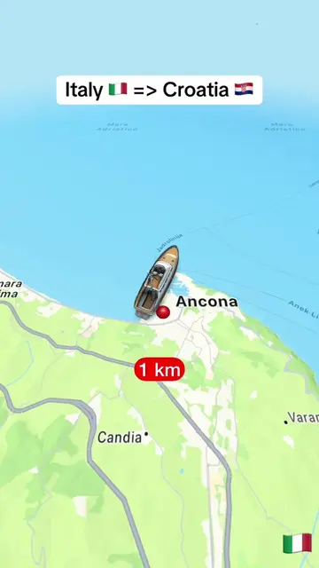
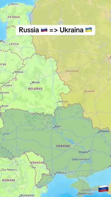
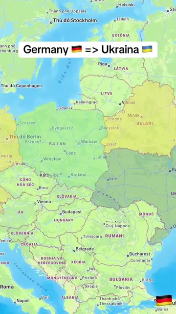
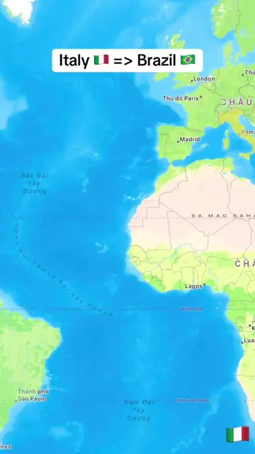
The video shows a map with an airplane icon traveling from Turkey to Nepal, with the distance increasing incrementally. The journey is visualized across various countries and cities, highlighting the vast distance covered.
Structure
- 1Map displays Turkey and Nepal
- 2Airplane icon begins journey from Turkey
- 3Distance markers increase as plane travels
- 4Plane crosses multiple countries and cities
- 5Plane approaches Nepal
On-screen text
Türkiye 🇹🇷 => Nepal 🇳🇵
Original caption
From Türkiye 🇹🇷 to Nepal 🇳🇵. #LearnOnTikTok #trending #viral #türkiye #nepal
More from @tampy78e1
More breakout videos from this creator.