Loading video…
All breakouts
47.8AnimationBefore / After hookConsumer Apps
Hook
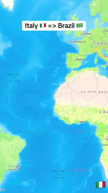
Albania 🇦🇱 => Russia 🇷🇺
@tampy78e1
20.5K followers · usually 2.2K views a post
Views
78.0K
Likes
401
Comments
9
Shares
14
Why it worked
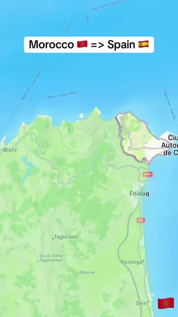
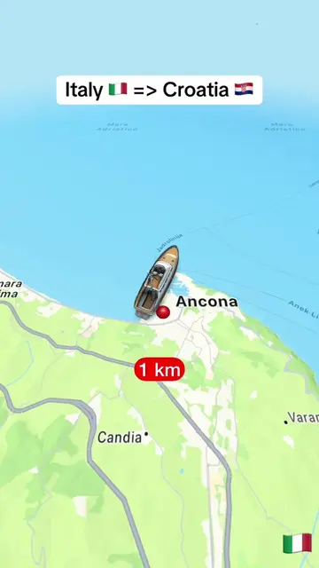
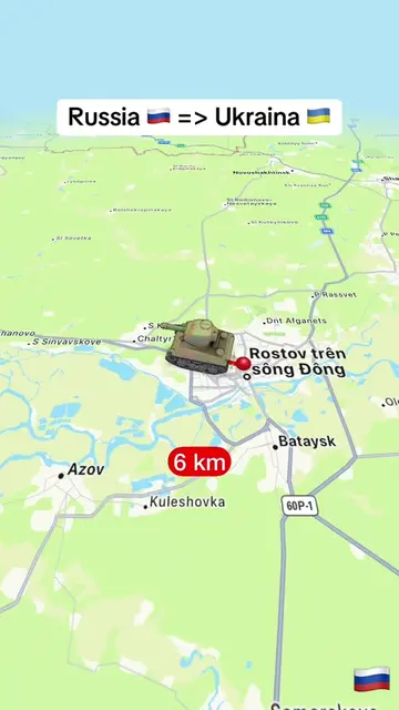
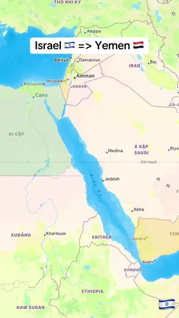
The video likely worked due to its use of a visually engaging animation to illustrate a geographical comparison, tapping into curiosity about distances and geopolitical relationships. The clear visual representation and the use of flags and distance markers make the information easily digestible and shareable.
Summary
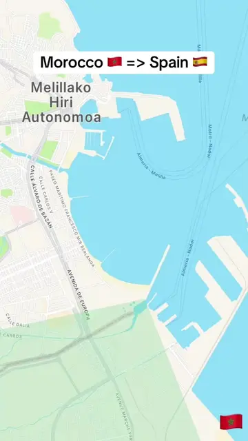
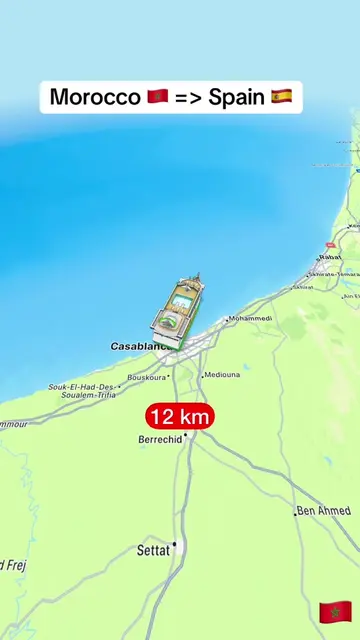
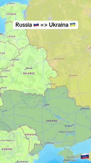
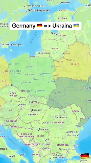
This video uses an animated map to show the distance between Albania and Russia, illustrating the journey with a ship and helicopter. The path travels across the Mediterranean Sea, through the Black Sea, and ends near the coast of Russia.
Structure
- 1Map showing Albania and Russia
- 2Ship and helicopter animation begins
- 3Journey across the Mediterranean and Black Seas
- 4Distance markers increase
- 5Arrival near the Russian coast
On-screen text
Albania 🇦🇱 => Russia 🇷🇺
Original caption
From Albania 🇦🇱 to Russia 🇷🇺. #learnontiktok #trending #viral #albania #russia
More from @tampy78e1
More breakout videos from this creator.