Loading video…
All breakouts
47.4AnimationBefore / After hookConsumer Apps
Hook
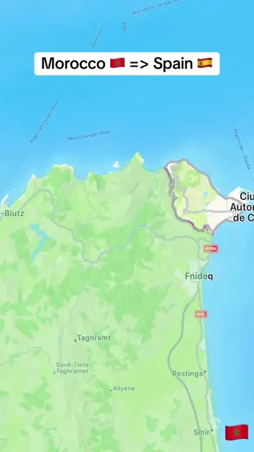
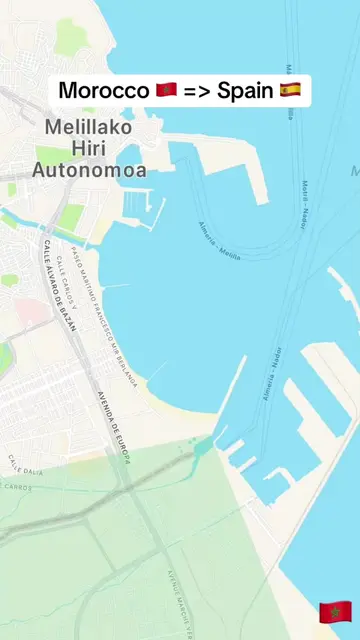
Morocco 🇲🇦 => Spain 🇪🇸
@tampy78e1
20.6K followers · usually 2.1K views a post
Views
87.6K
Likes
442
Comments
35
Shares
43
Why it worked
The video likely performed well due to its visually engaging animation of a journey between two popular tourist destinations, combined with the trending format of showing distance progression. The use of flags and clear geographical markers makes it easily understandable and shareable.
Summary
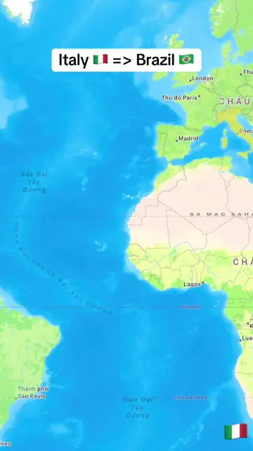
The video shows a map with a route from Morocco to Spain. A cruise ship is depicted traveling across the sea, with the distance from the starting point increasing over time. The journey ends as the ship approaches the coast of Spain.
Structure
- 1Map showing Morocco and Spain
- 2Cruise ship departs Morocco
- 3Ship travels across the sea, distance increases
- 4Ship approaches Spain
On-screen text
Morocco 🇲🇦 => Spain 🇪🇸
23 km
47 km
74 km
97 km
121 km
146 km
172 km
195 km
222 km
247 km
272 km
296 km
320 km
343 km
369 km
394 km
416 km
441 km
465 km
491 km
513 km
538 km
562 km
589 km
612 km
636 km
659 km
684 km
709 km
732 km
756 km
782 km
805 km
831 km
854 km
877 km
900 km
926 km
950 km
974 km
997 km
1021 km
1045 km
1068 km
1092 km
1113 km
1137 km
1160 km
1183 km
1205 km
1229 km
1252 km
1275 km
1299 km
1322 km
1344 km
1368 km
Original caption
From Morocco 🇲🇦 to Spain 🇪🇸. #learnontiktok #trending #viral #morocco #spain
More from @tampy78e1
More breakout videos from this creator.