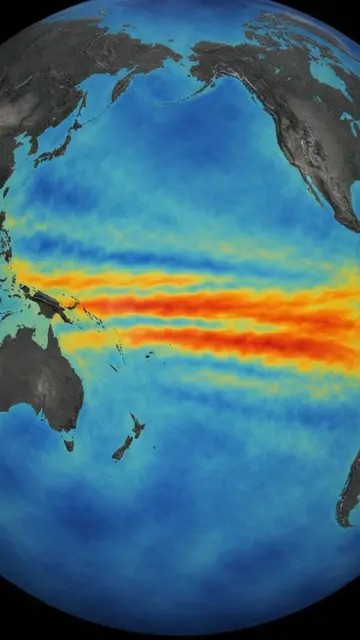
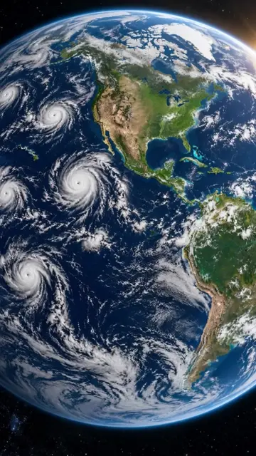
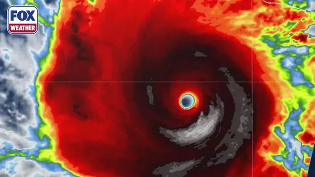
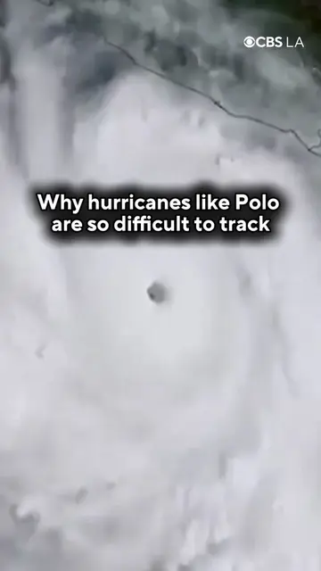
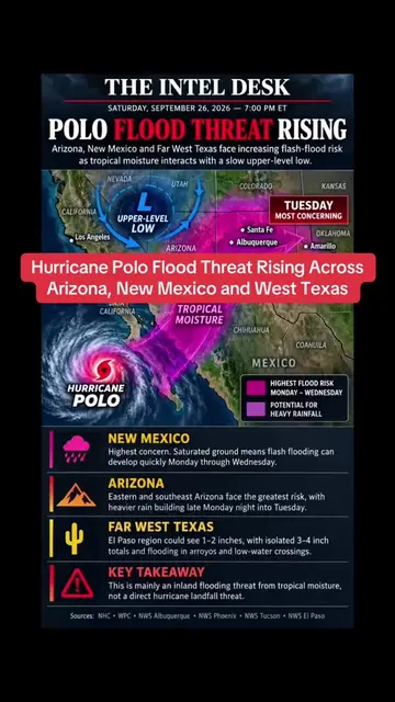
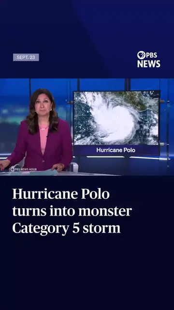
This category 5 monster will never hit America, but it is about to flood America, bankrupt parts of it, and rip its beaches apart. And the scariest part, scientists say this is the fastest strengthening hurricane ever seen in human history. It is called Hurricane Polo, and if you live in California, Arizona, New Mexico, or Texas, you need to hear this. Polo formed on September 20th as just a harmless tropical depression, barely a blip on the radar. But then, it did something truly terrifying. In just 42 hours, it went from a tropical depression to a category 5 hurricane with 180 mile per hour winds, faster than any other hurricane ever recorded. The National Hurricane Center sent a hurricane hunter plane right into its eye. What they found was historic: maximum sustained winds near 180 miles per hour and a central pressure of just 892 millibars. That makes Polo the strongest tropical cyclone on Earth in 2026 and the second most intense Pacific hurricane ever recorded, after only Hurricane Patricia. It is also the first storm in the East Pacific to drop below 900 millibars since Patricia in 2015. Wait, it gets even crazier. Polo surged from a 40 miles per hour tropical storm to a 160 miles per hour category 5 in only 36 hours, and it went from category 1 to category 5 in less than 24 hours. That is not normal. That is explosive rapid intensification, potentially setting an Eastern Pacific record. Now, here is the official count. Polo is the 18th named storm, the seventh hurricane, the fifth major hurricane, and the record-tying third category 5 hurricane of the 2026 Pacific hurricane season. It ties 2026 with 1994, 2002, and 2018 for the most category 5 storms ever recorded in a single Eastern Pacific season. Three category fives in one season, following Genevieve and Lowell. So where is it right now? As of the last NHC update, Polo was centered about 215 miles south of Zihuatanejo, Mexico, and it was nearly stationary, just sitting there, churning, getting stronger. The forecast says it will remain offshore, moving slowly parallel to Mexico's Pacific coast, then make a sharp turn toward the west-northwest. The new track has it approaching Baja California Sur by Sunday as a category 3. Mexico is under tropical storm warnings right now, bracing for life-threatening flooding and mudslides. But here is the mystery everyone is asking: if Polo never hits America, how can it affect America? This is the hidden science they don't tell you on the news. Hurricanes don't need to make landfall to destroy a country thousands of miles away. They just need to throw their moisture. Think of Polo like a giant atmospheric fire hose. It is sucking up trillions of gallons of warm Pacific water and flinging it into the atmosphere. And right now, because we are in a rapidly strengthening El Nino, which has already fueled 18 named storms across the Eastern and Central Pacific, the jet stream is positioned perfectly to grab all that tropical moisture and shoot it straight into the American Southwest. And this is where it becomes a trillion-dollar problem. The National Weather Service is already warning: moisture from Polo will fuel several days of heavy rain across the Southwest, increasing the threat of flash flooding through midweek. El Paso is already seeing a soaking start as a surge of tropical moisture from Polo fuels thunderstorms. Arizona appears to have the clearest potential path for Polo's remnants, with moisture pushing into New Mexico and eventually Western Texas. But listen to this: for California, the danger is not rain at first. It is the ocean itself. Polo is not expected to make landfall in the United States or cause major direct impacts there. However, indirect effects are possible. Southern California could see large swells, high surf, and dangerous rip currents by the weekend, along with increased tropical moisture and humidity. We are talking about coastal flooding and erosion, just weeks after Hurricane Marie battered the California coast with 12-foot surf and widespread erosion. A National Weather Service meteorologist in Oxnard told the Los Angeles Times, "The biggest concern is high surf and high tides that will coincide next Monday." Southern California beaches could be hit with pounding surf, treacherous currents, sticky tropical air, and the possibility of coastal flooding. Do you see it now? A storm that never touches California can still drown its beaches, flood its streets, shut down its ports, and trigger millions of dollars in emergency cleanup. A storm that never hits Arizona can still flood homes in Tucson and Phoenix, overwhelm drainage systems that were never built for tropical rain, and cause flash floods in the desert where water has nowhere to go. And here is the controversial part that keeps climate scientists up at night: this used to be rare. Now it is the pattern. Kristen Corbaciaro, a professor at the University at Albany, told NPR that Polo is one of the strongest storms ever in the Pacific Basin. We are watching hurricanes go from nothing to monsters in less than two days. That gives cities zero time to prepare. That is why a category 5 that misses you is more dangerous than a category 1 that hits you directly, because no one takes it seriously until the water is already in their living room. So no, Polo will not make landfall in America. The NHC forecast keeps it offshore, but its ghost will. Its moisture will become floods in El Paso, its energy will become 10-foot waves in Malibu, its humidity will become unbearable, sticky, dangerous heat in San Diego. This is how a category 5 hurricane affects America without ever hitting it. If you found this terrifying and fascinating, follow this page right now, because I break down the real science behind the headlines that everyone else ignores. I will keep you updated on Polo's track and what it does next to the US coast. Now tell me this: do you think the Southwest is actually prepared for a flood coming from a hurricane that never even hits America? Let me know in the comments.