Loading video…
Sound

original sound - wtol11toledo
WTOL11Toledo · Original audio
0:00–:––
Playing this video’s own audio, so you’ll hear the creator over the sound.
Hook
Posted Oct 5, 2026Video · 0:49by @wtol11toledo
We didn’t find a product being promoted in this video. Its hook, format and structure below still show why it took off.
Browse products winning on TikTokThe video uses a familiar, high-utility interface (Google Maps) to ground a local news story in a specific, relatable geography, making the information feel immediate and actionable.
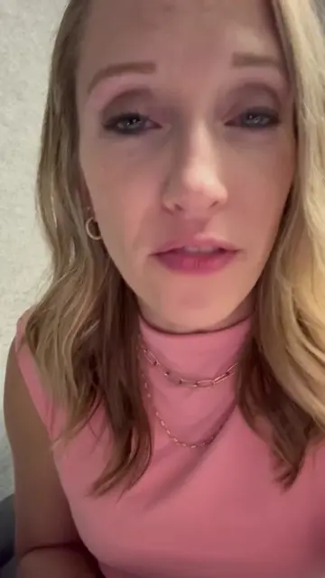
A news reporter from WTOL 11 provides an update on the first human case of West Nile virus in Sandusky County in a decade. She uses Google Maps to show the location of the case and shares safety advice from health officials.
Sandusky County is reporting its first human case of West Nile virus in 10 years, linked to someone in Vickery. #WestNileVirus #SanduskyCounty #Mosquitoes #Ohio
Here is a case of West Nile virus here in Northwest Ohio.
Reporter introduces the West Nile virus case in Sandusky County.
Visual demonstration of the location using Google Maps.
Explanation of symptoms and risks.
Safety recommendations for residents.
Information on how to obtain free repellent and dunks.
Google Maps (a) it ACTS — the interface is operated to show a map of Sandusky County and zoom into Vickery, Ohio. Removing it would change the visual presentation of the news report.
Playing this video’s own audio, so you’ll hear the creator over the sound.
Outliers and viral hits: their videos on Overshot, all time.