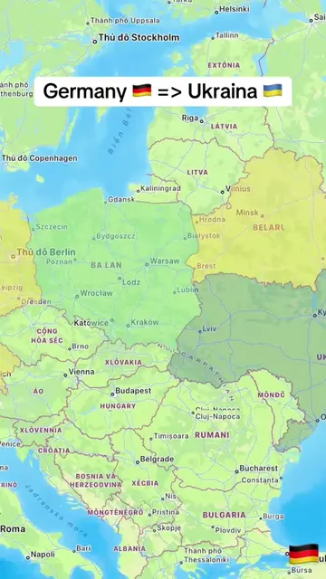
Loading video…
All breakouts
3.6AnimationOther hookConsumer Apps
Hook
Iran 🇮🇷 => Israel 🇮🇱
@tampy78e1
20.7K followers · usually 2.6K views a post
Views
15.7K
Likes
90
Comments
8
Shares
5
Why it worked
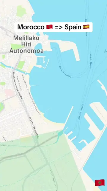
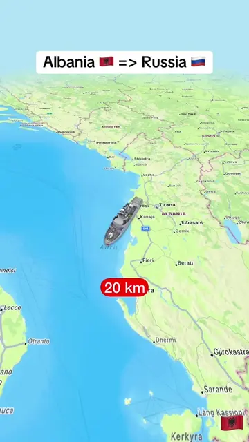
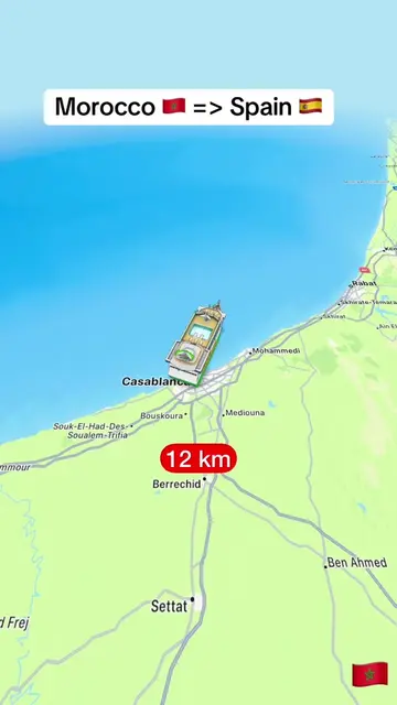
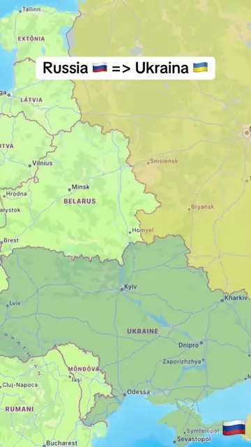
The video likely performed well due to its use of a trending geopolitical topic (Iran-Israel relations) combined with a visually engaging animation of a drone flight and distance tracking, which appeals to curiosity and a sense of journey.
Summary
The video shows a map of the Middle East with a drone icon flying from Iran towards Israel. The distance covered by the drone is displayed in kilometers, increasing throughout the video. The flags of Iran and Israel are shown at the beginning and end.
Structure
- 1Map of the Middle East shown
- 2Drone icon appears and starts flying from Iran towards Israel
- 3Distance in kilometers is displayed and increases
- 4Flags of Iran and Israel are shown
On-screen text
Iran 🇮🇷 => Israel 🇮🇱
Original caption
From Iran 🇮🇷 to Israel 🇮🇱. #LearnOnTikTok #trending #viral #iran #israel
More from @tampy78e1
More breakout videos from this creator.