Loading video…
Sound

original sound - sortofdan
Dan Brown: Sort Of Interesting · Original audio
0:00–:––
Playing this video’s own audio, so you’ll hear the creator over the sound.
This video promotes it, but we haven’t matched it to a product page yet, so there are no product figures.
The video addresses a relatable, niche rural problem and provides a practical, non-obvious solution using a familiar tool, making the product demonstration feel like a helpful tip rather than an ad.
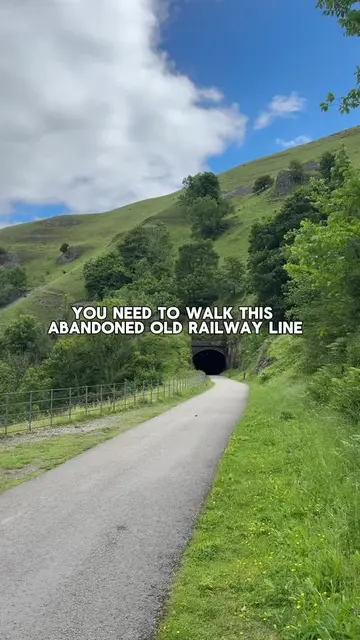
The creator discusses the dilemma of navigating through crop fields when a public footpath is not visible. He demonstrates how using Google Maps satellite view can reveal the intended path even when it is obscured by crops.
Is it trespass or crop trampling? #countrylife #rural #farming #crop #Hiking
OKAY LET'S SETTLE THIS ONCE AND FOR ALL
Introduction of the navigation dilemma
Comparison of visible vs hidden footpaths
Demonstration of using Google Maps to find the path
Closing question to the audience
Google Maps: (a) it ACTS — the creator uses its satellite view to reveal a hidden footpath that is not visible in the real-world field. Removing it would change the video's conclusion about how to navigate the field.
Playing this video’s own audio, so you’ll hear the creator over the sound.
Outliers and viral hits: their videos on Overshot, all time.