Loading video…
Sound

original sound - civilskillhub
Civil Skill Hub · Original audio
0:00–:––
Playing this video’s own audio, so you’ll hear the creator over the sound.
The video provides a clear, concise, and practical solution to a common problem faced by surveyors and CAD users, making it highly shareable and valuable content.
This video demonstrates how to transfer coordinates from Excel to AutoCAD. It shows how to combine Easting and Northing values in Excel, copy them, and then paste them into AutoCAD to create a polyline.
Excel coordinates → AutoCAD 📊➡️📐 Copy. Paste. Organize. Done. ⚡ A simple workflow for bringing Easting & Northing coordinates from Excel into AutoCAD. #AutoCAD #Excel #Coordinates #Surveying #CAD #AutoCADTips #CivilSkillHub
FROM EXCEL TO AUTOCAD COORDINATES IN SECONDS
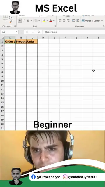
Show Excel data with coordinates
Combine Easting and Northing in Excel
Copy combined coordinates
Open AutoCAD and type 'polyline' command
Paste coordinates to create the polyline
Encourage following for more tips
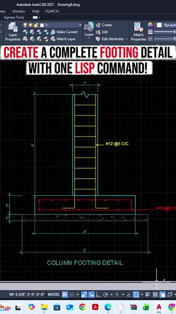
Autodesk AutoCAD 2021 (software): Appears as the primary interface for the demonstration. Removing it would change what happens in the video. Excel (software): Used to input and combine coordinates. Removing it would change what happens in the video.
Follow for more tips & tricks
Playing this video’s own audio, so you’ll hear the creator over the sound.
CAD software for drafting and design professionals
All time.
Promotes 2 products. Create free account to see more.
Outliers and viral hits: their videos on Overshot, all time.